![]()
Status yellow rain and wind warnings have been put in place across eigh counties today.
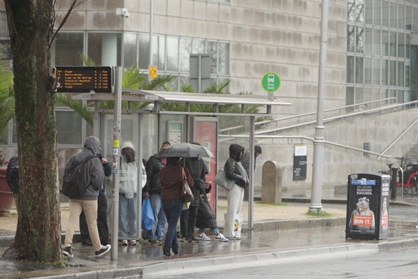
As of 9am this morning, a status yellow rain warning was placed in Cork, Kerry and Waterford, with Met Éireann warning of flooding and difficult travelling conditions.
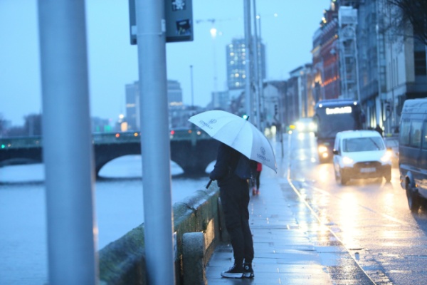
The forecaster has also revealed that a yellow wind warning was put in place for Donegal, Leitrim, Galway, Mayo and Sligo, with some fallen trees and branches expected, as well as difficult travelling conditions. This warning took effect from midday today.
Coastal areas are to be wet and windy, with persistent rain expected north-eastwards across all areas throughout the morning and early afternoon with some heavy bursts of showers possible, especially later in the day.
Southern Munster is also expected to see some spot flooding, with highest temperatures between 6 and 10 degrees.
#Friday⚠️🌧️🍃10/04/2026
⚠️Yellow Rain Warning➡️Kerry, Cork, Waterford
⏳09:00 to 21:00⚠️Yellow Wind Warning➡️Donegal, Galway, Leitrim, Mayo, Sligo
⏳12:00 to 21:00❗️Be mindful of⤵️
👉Localised flooding🌊
👉Difficult travelling conditions🚗
👉Fallen trees & branches🌳 pic.twitter.com/GhZmwlOx2k— Met Éireann (@MetEireann) April 9, 2026
This weekend is expected to see rain and showers and into next week, as well as some bright intervals. There is a possibility of hail and thunder for Saturday and Sunday, with frequent showers expected until at least Tuesday.
Becoming wet and windy today with coastal gales🌬️.
Rain in the southwest will become widespread🌧️ with heavy and possibly squally bursts later☔️, leading to spot flooding.
Highest temperatures🌡️ of 6 to 10 degrees, in a strengthening southeast wind🍃. pic.twitter.com/8O9uinnrue
— Met Éireann (@MetEireann) April 10, 2026
For Saturday, a bright start will give way to scattered and blustery showers, spreading from the west. The showers will be heavy with the possibility of hail and thunder, as well as some wintery showers over high ground in the west and south west early on.
Highest temperatures to range between 7 and 11 degrees.
Saturday night will be see blustery weather, with a mix of sunny spells and scattered showers. Some showers will remain heavy, with a chance of hail. Temperatures are to hit highs of 9 and 12 degrees.
Looking ahead to Sunday night, winds are expected to ease, and showers are to clear for most areas. Lowest temperatures are to hit -1 and 3 degrees, with some frost and icy patches possible.
As for Monday, a dry and bright start will give way to showers, particularly in the west. These showers will retreat northwards during the evening. Dry conditions are to develop in southern parts. Highest temperatures are to range between 9 and 11 degrees.
Monday night will see remaining showers clear from northern areas with long clear spells developing. Lowest temperatures are to stay between zero and 5 degrees in light southerly winds.
Following a dry start, Tuesday will see cloud and rain pushing north-eastwards across Ireland, with temperatures remaining between 9 and 12 degrees.