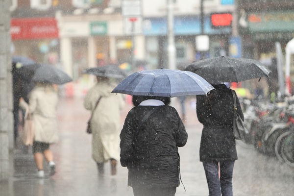

Met Éireann has described the outlook as “unsettled”, with wetter conditions expected to develop from Monday night and remain in place for much of the week.
The country will enjoy another mostly dry day today, with sunny spells and just a few showers. Temperatures will range from 17C to 22C, with the warmest conditions expected in the south.
Clearer and drier conditions will continue overnight, although temperatures will become noticeably cooler, dropping as low as 5C in some areas.
Monday will bring another spell of sunshine, with temperatures potentially reaching 23C. However, the current run of settled weather is expected to come to an end that evening.
Cloud and showers will begin spreading from the south, with overnight temperatures becoming milder at between 11C and 15C.
Tuesday is expected to mark the arrival of more widespread wet weather, with long periods of rain developing and temperatures reaching between 17C and 21C.
Heavy rain could affect some parts of the country on Tuesday night, while thunderstorms are also possible.
The unsettled pattern will continue through the middle of the week. Wednesday and Thursday are expected to bring further spells of rain, with temperatures remaining relatively high at between 19C and 23C.
Met Éireann is also forecasting further heavy showers on Friday, with the unsettled conditions likely to extend into the weekend.
The forecaster's longer-range outlook suggests that low pressure will dominate, resulting in above-average rainfall, particularly across southern and eastern areas.
“There is a signal for low pressure to dominate with rainfall amounts generally above average for the time of year, particularly in the south and east,” Met Éireann said.
The forecast added: “Rainfall is expected to be above average across the south and east.”