![]()
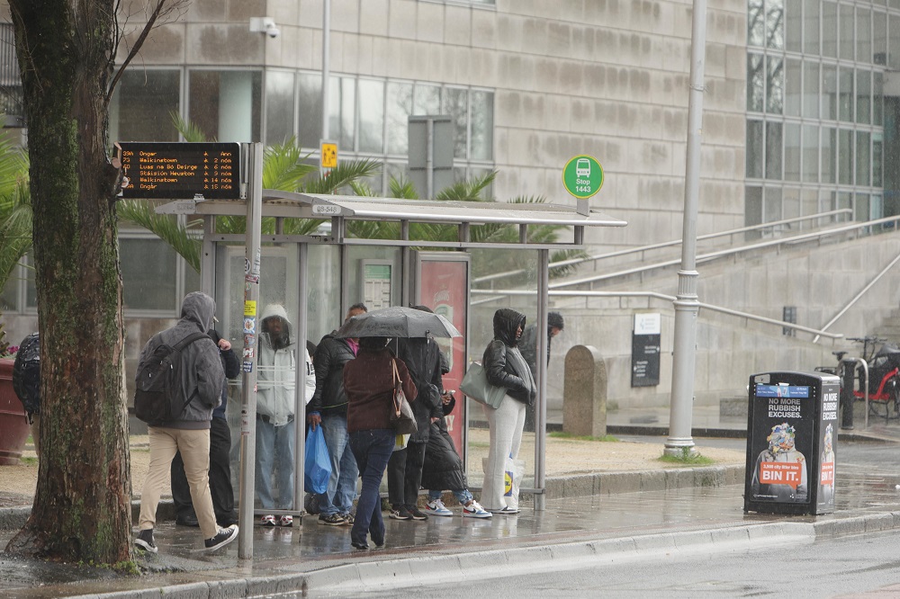
A washout May Bank Holiday weekend is on the way for the east of the country, with Dublin, Kildare, Meath and Wicklow all set for persistent showers, cooler temperatures and little sign of sunshine, while Status Yellow rain warnings remain in place for parts of the south.
While the warnings are specifically issued for Cork and Waterford, they underline the broader unsettled pattern affecting the entire country, with Met Éireann warning of heavy, possibly thundery rain bringing risks such as localised flooding, poor visibility and difficult travelling conditions.
In Dublin, conditions are already beginning to turn. Thursday will start off dry and bright, but showers are expected to move into the capital later this evening, marking the beginning of a wetter spell. Temperatures will still peak at around 18 degrees, but that milder feel won’t last.
Overnight, it will turn drizzly with lows of around 9 degrees, along with a chance of mist and fog developing, setting the tone for a damp and unsettled weekend ahead.
Cloudy #today with outbreaks of rain & drizzle in the S & W, gradually spreading northeastwards & turning heavy at times⛅️🌦️🌧️
Highs generally of 14 to 18 C🌡️ but a few degrees cooler in the SW with moderate easterly winds easing light through the day🍃 pic.twitter.com/c0yZv4oDqk
— Met Éireann (@MetEireann) April 30, 2026
Across Dublin, Kildare, Meath and Wicklow, Friday will be something of a brief lull, with early rain clearing to leave a mostly cloudy but largely dry day, although isolated showers may develop later. Temperatures will range between 16 and 18 degrees, making it the mildest day of the long weekend.
However, conditions will deteriorate again by Friday night, as scattered showers persist and more organised rain pushes in from the west, gradually spreading eastwards.
By Saturday, the unsettled pattern fully takes hold across the east, with widespread showers expected throughout Dublin, Kildare, Meath and Wicklow. Some of these will be heavy and possibly thundery, although there may be brief bright spells at times. It will feel noticeably cooler, with highs dropping to 12 to 15 degrees.
The showery conditions will continue into Saturday night, though there is a chance that areas further north, including parts of Meath, could see some drier intervals and clearer spells. Overnight temperatures will fall to between 7 and 11 degrees, with further mist and fog developing.
Sunday offers little improvement, with another cloudy and damp day expected across the east. Showers will again become widespread and heavy at times, with a risk of thunder, while temperatures remain subdued at 12 to 15 degrees.
By Bank Holiday Monday, conditions will turn cooler again across Dublin, Kildare, Meath and Wicklow, with highest temperatures of just 10 to 14 degrees. It will be a largely overcast day, with patchy rain and drizzle lingering throughout.
⚠️Status Yellow Rainfall Warning for Cork and Waterford
Persistent rain will be heavy and possibly thundery at times 🌧️
Potential impacts:
• Localised flooding
• Difficult travelling conditions
• Poor visibilityValid: Thur 30/04 03:00 to 18:00
ℹ️ https://t.co/GYji547FKt pic.twitter.com/H8VRFxMFOR
— Met Éireann (@MetEireann) April 29, 2026
Although the most severe rainfall warnings are confined to Cork and Waterford, the wider outlook makes clear that no part of the country will escape the unsettled spell, with the east also facing a damp, grey and cooler-than-average Bank Holiday weekend.